אין מוצרים
המחירים כוללים מיסים
-
על כל אלה - 60 שנה לישראל
דרך ארוכה עברנו מאז הכריז דוד בן גוריון במאי 1948 על הקמתה של מדינת ישראל, הידיעה הראשונה שפותחת את אלבום "על כל אלה" ועד ועידת אנאפוליס, בנובמבר 2007, שבה נפגשה צמרת המדינה עם מנהיגי מדינות ערב, בהם אויבים בעבר ובני ברית כיום - הידיעה שסוגרת את האלבום.
238.02₪במלאי -
מילון חזותי (עברי-אנגלי)
מילון חזותי (עברי-אנגלי) מילון שבו כל מונח מומחש על ידי איור וכל פריט מאויר מכונה בשמו התקני ו/או המקובל. -----אזל במלאי-------
194.65₪ -
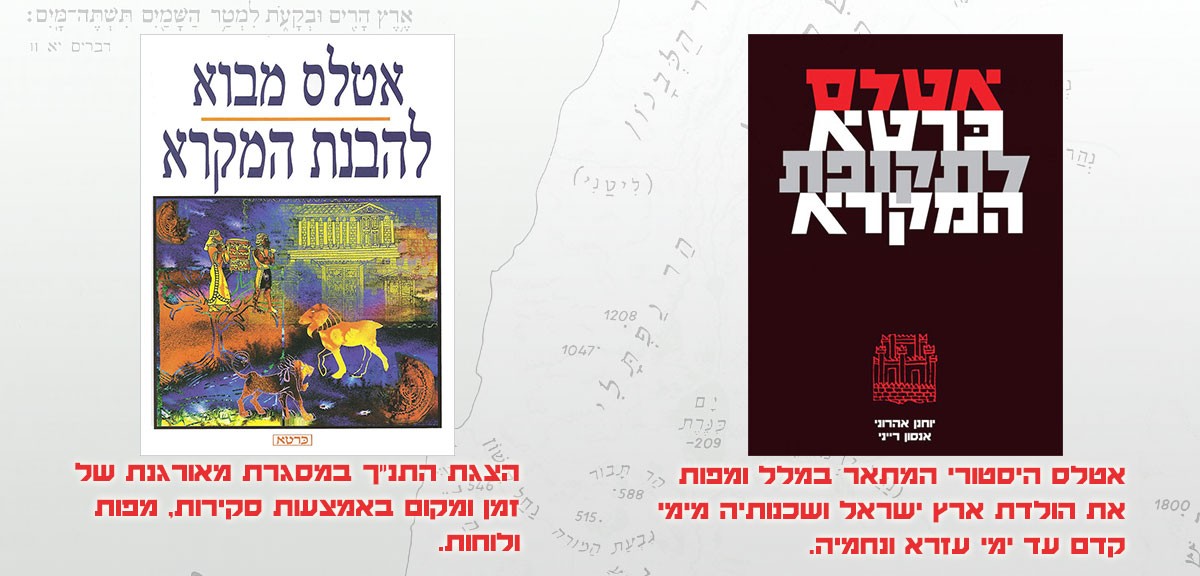
אטלס מבוא להבנת המקרא
הצגת התנ"ך במסגרת מאורגנת של זמן ומקום באמצעות סקירות, מפות ולוחות.
57.49₪במלאי -
גינס שיאי עולם - Guinness 2016
מה חדש בשבירת השיאים. מוקשים • יוטיוב • פיראטיםגיימינג • האקינג • זיהוי פלילי
170.44₪במלאי -
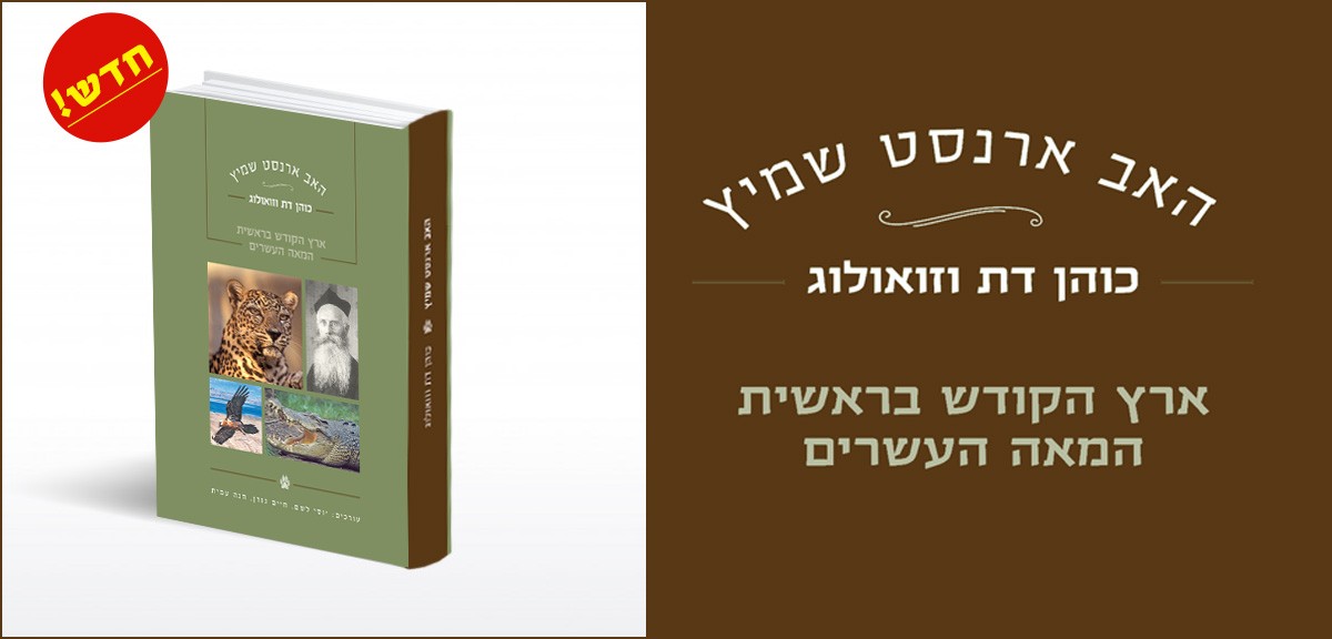
האב ארנסט שמיץ
האב ארנסט שמיץ, כוהן דת וזואולוג ארץ הקודש בראשית המאה העשרים ***** אזל ******
201.71₪ -
אתרי קרבות בישראל
תיעוד מקיף ויחיד במינו של המפעל ההיסטורי הענק - התחדשות עם ישראל בארצו, מימי הישוב הישן בארץ בשלהי המאה ה-19 ועד עידן מהלכי השלום על סך היובל השני למדינה.
218.85₪במלאי -
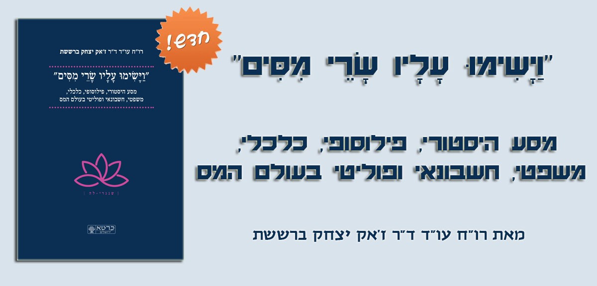
"וַיָשִימוּ עָלָיו שָרֵי מִסִים" מסע...
איך, מתי ולמה נולד המס הראשון, איך הוא מלווה את התפתחות האנושות מאז ועד היום, מתי מס הוא מטיב ומתי הוא מנצל מזיק או סתם טיפשי. איך משפיעים הטכנולוגיה והידע האנושי על המס?
645.47₪במלאי -
-
אטלס כּרטא אוניברסלי - האטלס הגיאוגרפי...
האטלס הותאם לתוכניות הלימודים בגיאוגרפיה, ואושר על-ידי הגף לאישור ספרי לימוד במשרד החינוך. באטלס החדש מאות מפות מעודכנות וביניהן מפות שרואות אור לראשונה. אזל
238.02₪לא במלאי -
העד האחרון - מהדורה חדשה
משלבת עמי גדליה סיפור מסגרת המתרחש בתוך כותלי בית הספר, היא מתארת מתבגרים על צרכיהם החברתיים, סקרנותם לגילוי האמת. הסיפור מבוסס על מקרה אמיתי בבית ספר בשווייץ בשנת 1987.
97.83₪במלאי -
-
אנציקלופדיה כּרטא לגננות בישראל בכרך אחד
אנציקלופדיה כּרטא לגננות בישראל מתאימה לטיפול בשטחי גן מחוץ לבית, בגינות גג - פנטהאוזים, בתוך הבית, ואפילו על אדן החלון.
190.62₪במלאי

")


-
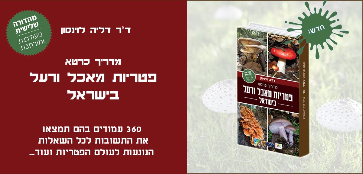
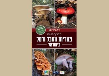
מדריך כּרטא פטריות מאכל ורעל בישראל
מהדורה שלישית מעודכנת ומורחבת המדריך שואף לסייע בהכרת והרחבת הידע של מיני פטריות הבר הנפוצות בארץ.
159.35₪במלאי -
מדריך כּרטא פטריות מאכל ורעל בישראל-מבצע-7
משלוח חינם בארץ המדריך שואף לסייע בהכרת והרחבת הידע של מיני פטריות הבר הנפוצות בארץ.
159.35₪במלאי -
-
אטלס כּרטא לתקופת המקרא
אטלס היסטורי המתאר במלל ומפות את הולדת ארץ ישראל ושכנותיה מימי קדם עד ימי עזרא ונחמיה.
183.56₪במלאי -
מדריך כּרטא פטריות מאכל ורעל בישראל-מבצע-15
משלוח חינם בארץ המדריך שואף לסייע בהכרת והרחבת הידע של מיני פטריות הבר הנפוצות בארץ.
159.35₪במלאי -
ארץ ישראל בתקופת בית שני
בתקופות בית שני, המשנה והתלמוד עברה ארץ ישראל סדרת תהפוכות פוליטיות, חברתיות ודתיות. ממלכה יהודית גאה וגדולה הייתה לפרובינציה קטנה; מארץ מולדתו של העם היהודי לנציבות ששיעור היהודים בה קטן והשלטון בה נוצרי. ספר זה מנסה להציג את הארץ ותהפוכותיה אגב הדגשת הרקע החברתי והקבוצות הדתיות שפעלו בארץ (יהדות, כתות מדבר יהודה, הנצרות, השומרונים).
143.21₪במלאי -
מדריך כּרטא פטריות מאכל ורעל בישראל-מבצע-10
משלוח חינם בארץ המדריך שואף לסייע בהכרת והרחבת הידע של מיני פטריות הבר הנפוצות בארץ.
159.35₪במלאי -
מילון חזותי (עברי-אנגלי)
מילון חזותי (עברי-אנגלי) מילון שבו כל מונח מומחש על ידי איור וכל פריט מאויר מכונה בשמו התקני ו/או המקובל. -----אזל במלאי-------
194.65₪ -
אנציקלופדיה כּרטא לגננות בישראל בכרך אחד
אנציקלופדיה כּרטא לגננות בישראל מתאימה לטיפול בשטחי גן מחוץ לבית, בגינות גג - פנטהאוזים, בתוך הבית, ואפילו על אדן החלון.
190.62₪במלאי -
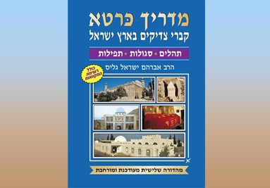
מדריך כּרטא לקברי צדיקים בארץ ישראל -...
מהדורה שלישית מעודכנת ומורחבת מדריך שימושי שבו מקומות הציון ומקומות הקבורה של הצדיקים, עם פרטים אודות הצדיק ומיקום קברו, דברים ממשנתו של הצדיק ותמונת צבע של ציון הקבר.
92.79₪במלאי -
לקסיקון כּרטא לצמחי מרפא
מדריך צמחי מרפא, הכולל בתוכו צילומים מרהיבים ושמות עבריים ולטיניים למאות צמחי מרפא.
92.79₪במלאי -
לקסיקון כרטא לאומות העולם
לקסיקון כּרטא לאומות העולם כל הנתונים המעודכנים על כל מדינות העולם: הדגל וסימני הזיהוי, ערים ראשיות, אירועים בהסטוריה, גיאוגרפיה ואקלים, מוסדות השלטון, הרכב הצבא, אוכלוסייה ודמוגרפיה, כלכלה וסחר-חוץ, חקלאות ותעשייה, תקשורת ותחבורה, ועוד. בסוף הספר סקירה על האו"ם ומוסדותיו.
123.04₪לא במלאי


עקוב אחרינו בפייסבוק
-
משלוח
אנחנו יכולים לשלוח לכל מקום בעולם. חבילות נשלחות תוך 2-3 ימים לאחר קבלת תשלום.
-
פניות למערכת
נשמח לקבל הערות והערכות לספרים ולמפות, כולל תיקונים והשמטות. כל פנייה תיבדק ותטופל בהתאם. אם נראה הנושא שלך כמו דואר זבל, רוב הסיכויים שזה יימחק על ידי מסנן דואר הזבל שלנו או התעלם.
כּרטא ירושלים
הוצאת כּרטא היא חברה פרטית, אשר למן היווסדה, בשנת 1958, היא החברה הכרטוגרפית המובילה במדינת ישראל. מאז גם מספקת כּרטא מפות ושירותי מיפוי למוסדות ממשלה ולחברות פרטיות, לאוניברסיטאות ולאנשי אקדמיה, לחברות מסחריות ולמוסדות, לעיתונים ולכתבי-עת. המפות והאטלסים של כּרטא עונים על כל צורך אפשרי: אטלסים לבתי הספר; מפות ערים ומפות המדינה; מדריכי תיור; מפות היסטוריות, פוליטיות ונושאיות; תקליטורים – וזה רק על קצה המזלג. מאגר המפות של כּרטא מקיף כיום יותר משלושת אלפים מפות שונות, בעיקר היסטוריות.